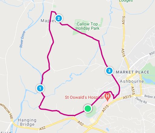
Monsal Trail and surrounding areas, with details of sights to see, where to get refreshments and some historic information.
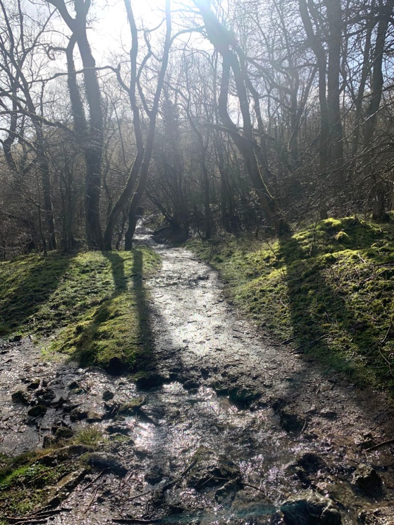
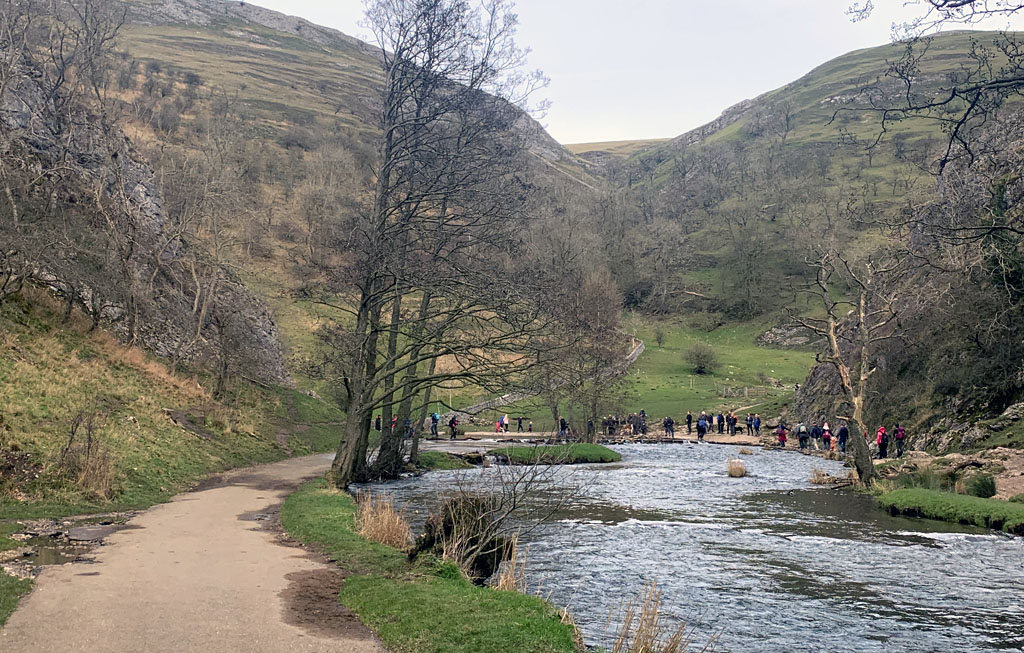
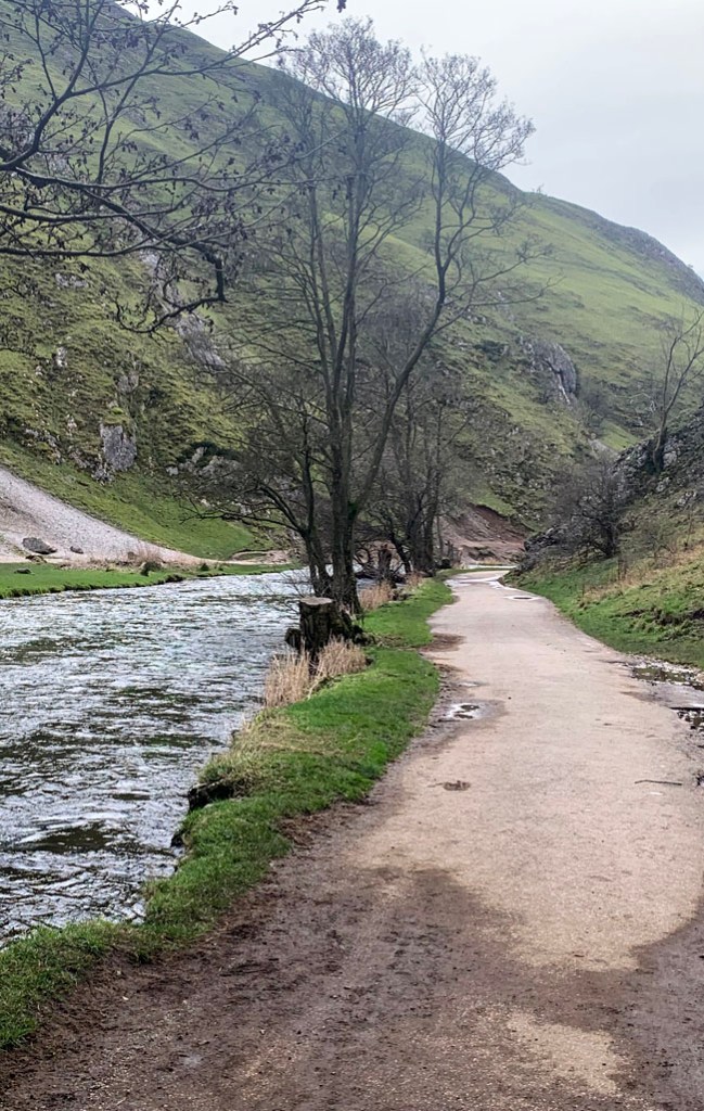
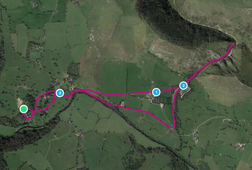
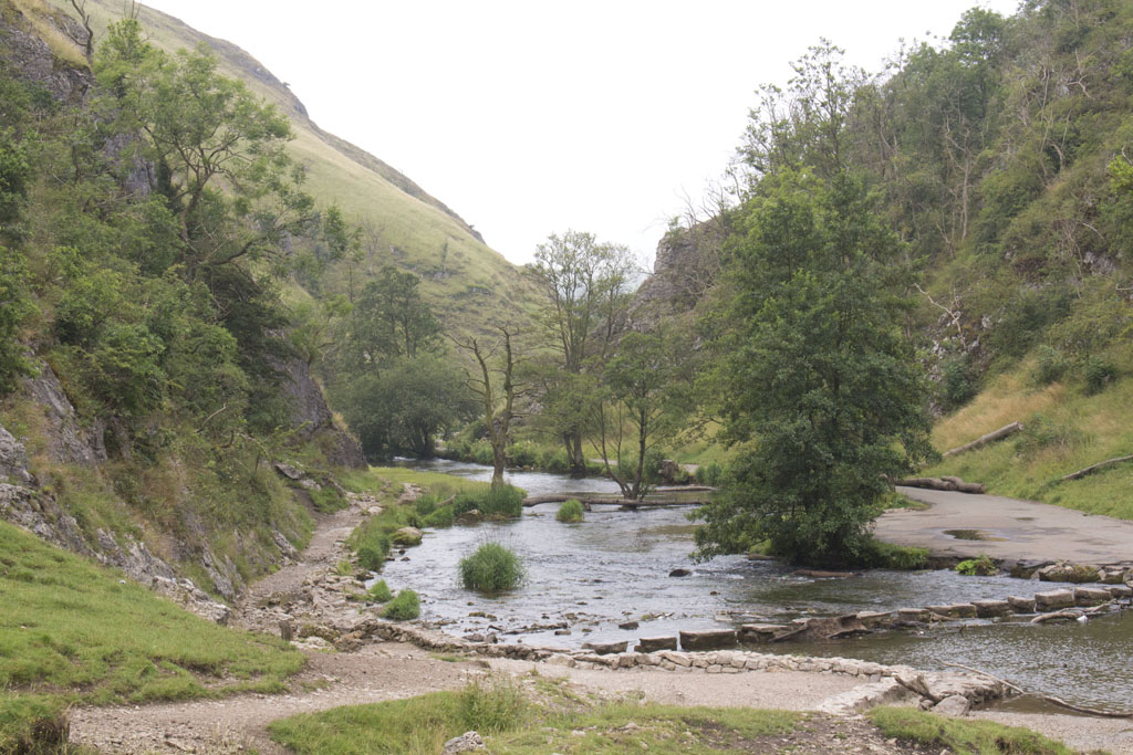
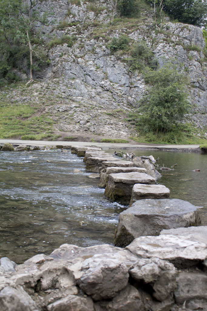
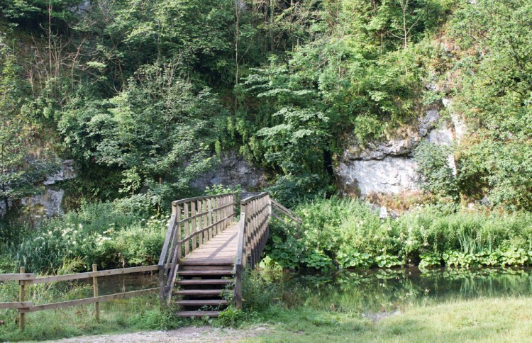
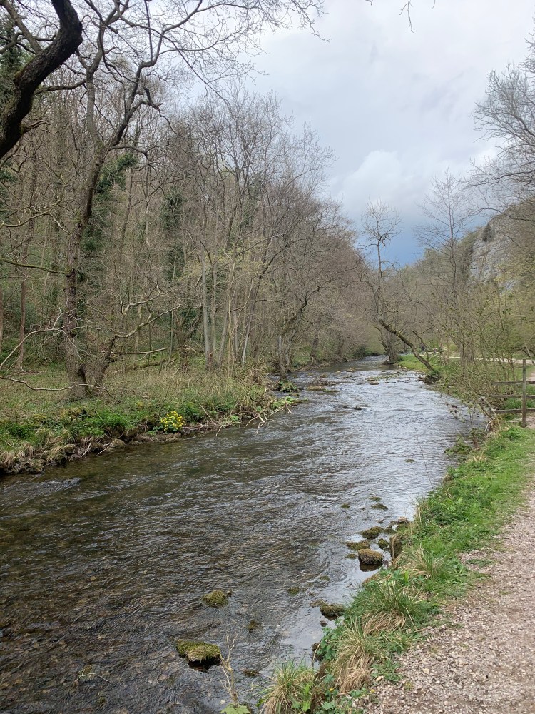
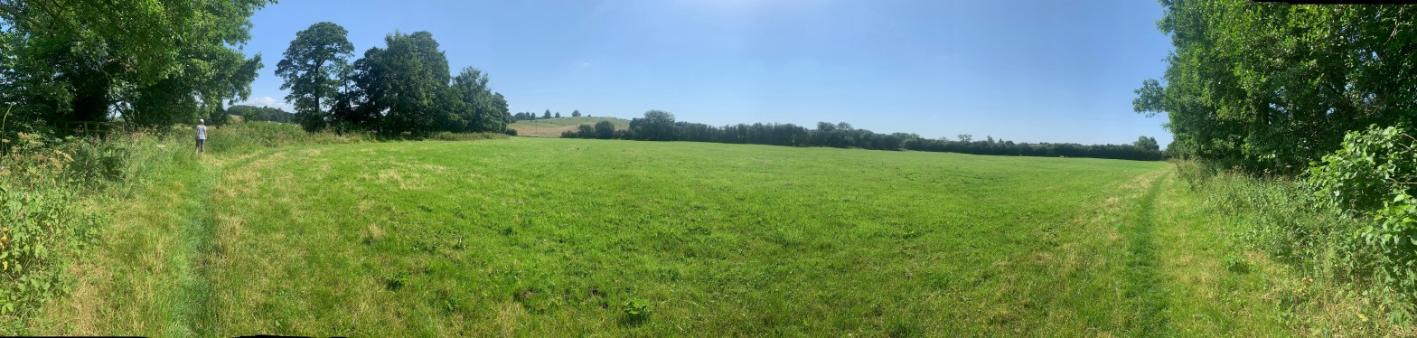
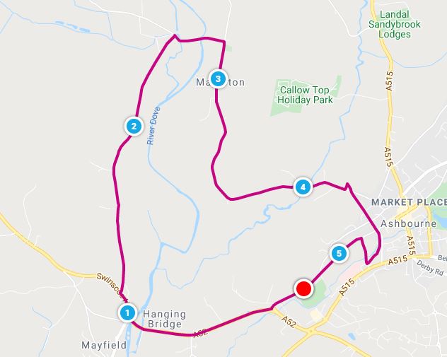
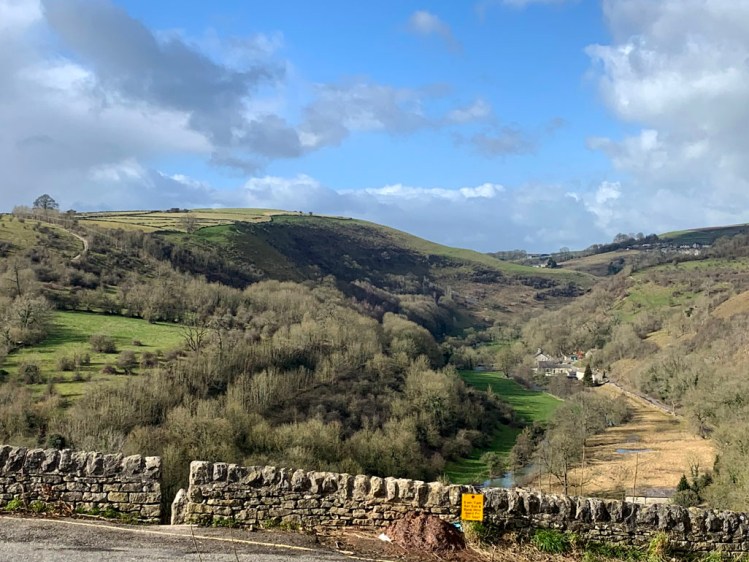
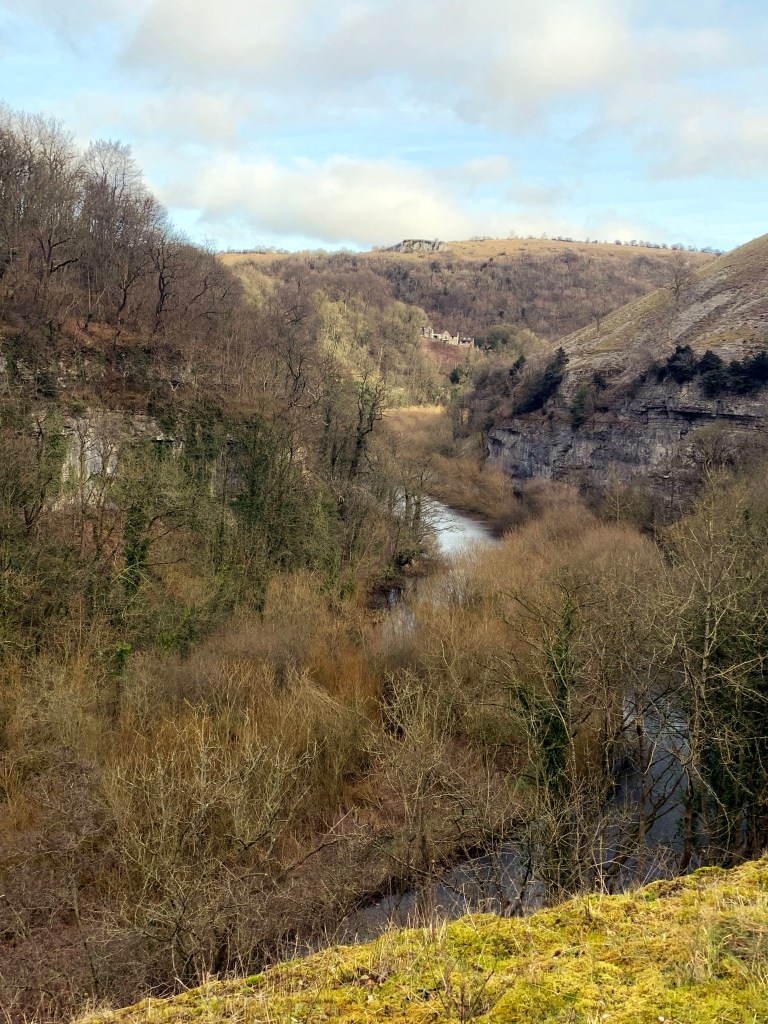
The Monsal Trail is a fantastic 8 ½ mile, traffic free trail that runs through some of the finest scenery in the Peak District. It is open to walkers, horse riders, cyclists and wheelchair users.
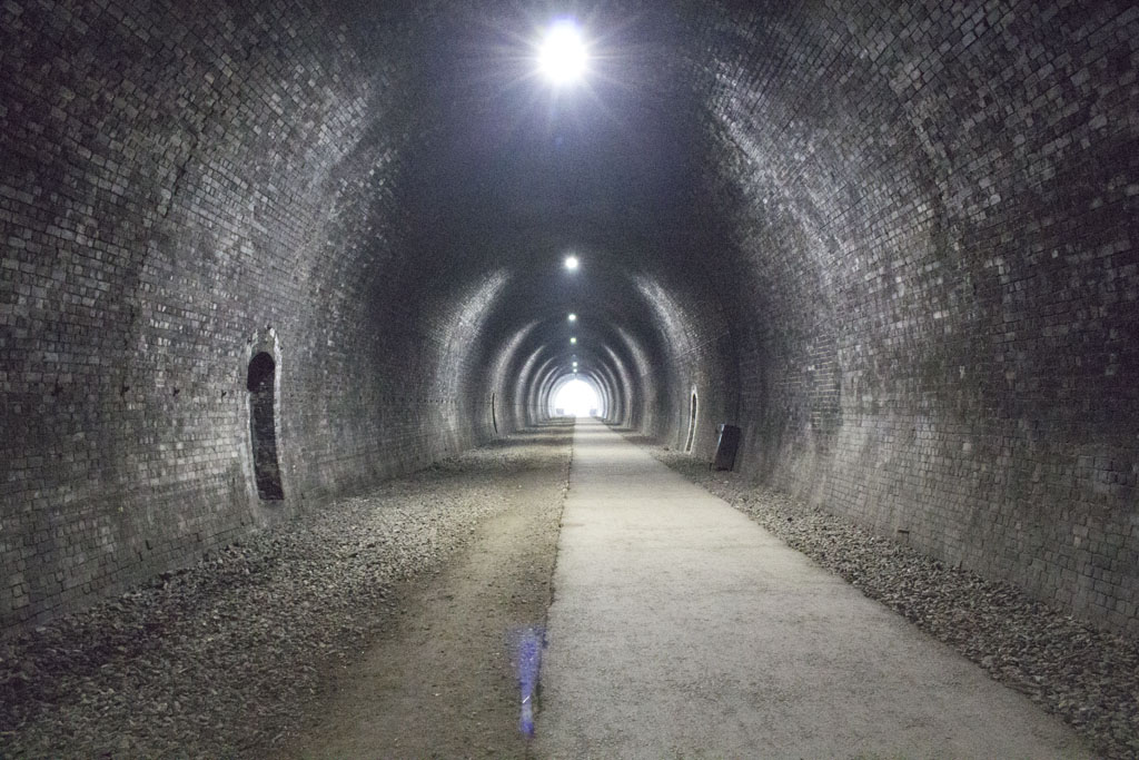
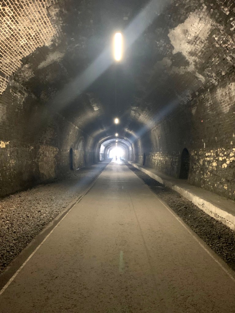
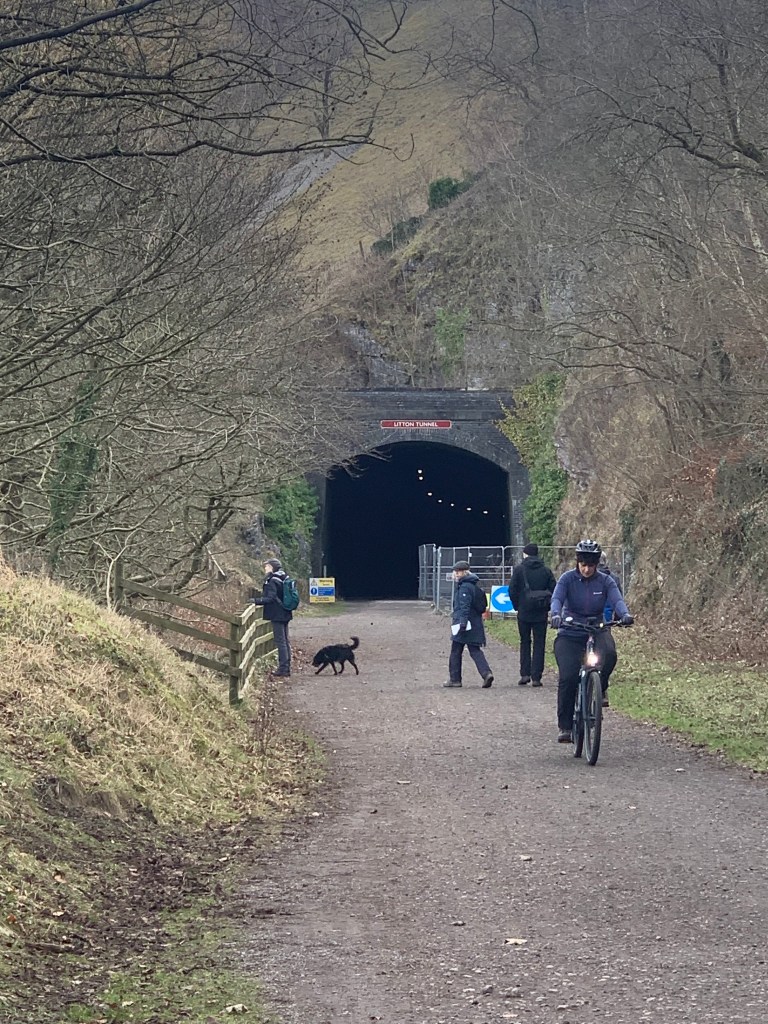
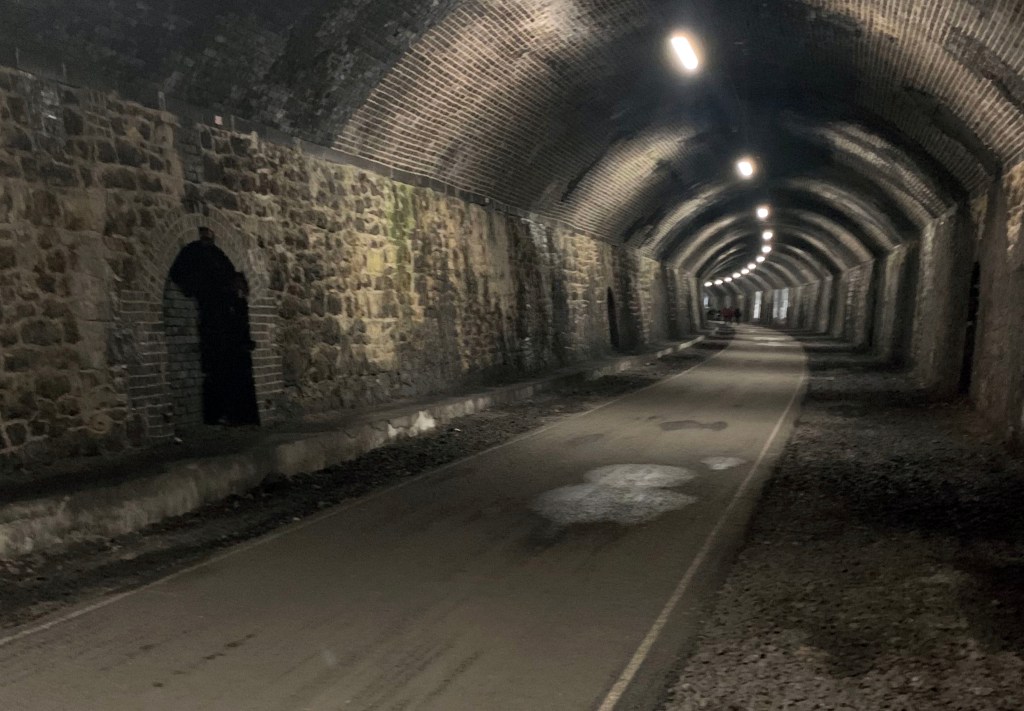
It is on the site of the old midland railway line, that ran from Buxton to Bakewell, which was closed in 1968. The line was disused for many years, and was finally opened as the Monsal Trail in 1981. Only two shorter tunnels, Chee Tor No.2 and Rusher Cutting were open at this time with diversions in place around the four other tunnels, Headstone Tunnel, Cressbrook Tunnel, Litton Tunnel and Chee Tor Tunnel. The tunnels were made safe using a nearly £4m grant and were opened to the public in 2011.
There is currently a campaign to re-open the trail as a railway line by The Manchester and East Midlands Rail Action Partnership (MEMRAP). There is strong opposition to the proposal with over 15,000 people signing a petition to “Save the Monsal Trail”. The proposal is not supported by the local council and was rejected in 2022.
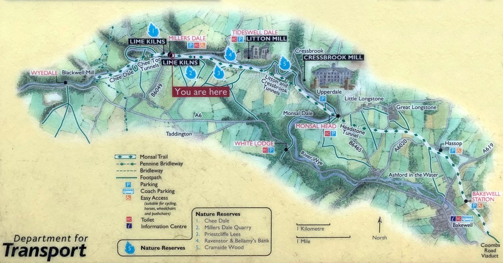
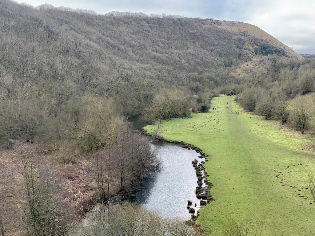
The trail has many places of interest along the route, with old stations that have been repurposed, wonderful views and spectacular scenery. Some of the highlights include the picture perfect Headstone Viaduct, the Lime Kilns and Cressbrook and Litton Mill.
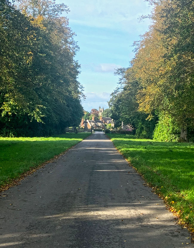
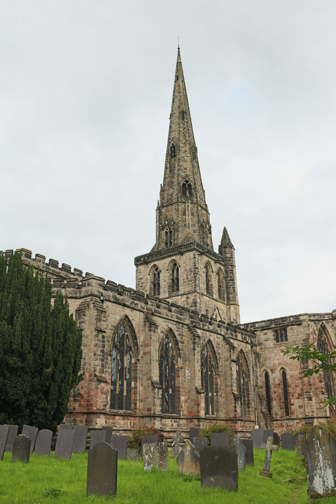
If you need somewhere to stay in the area, we have a lovely cottage is Ashbourne available year round: Aldergrove Cottage
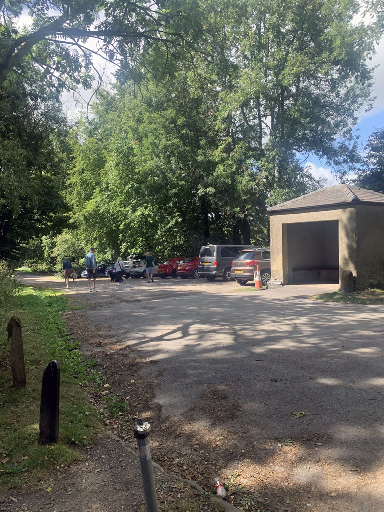
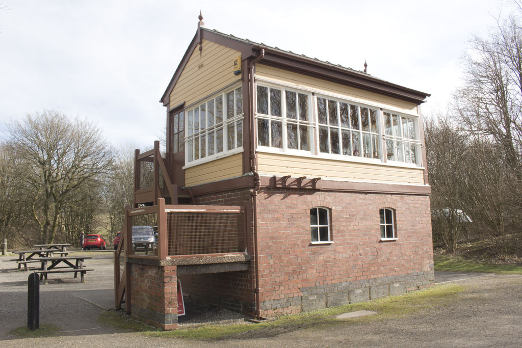
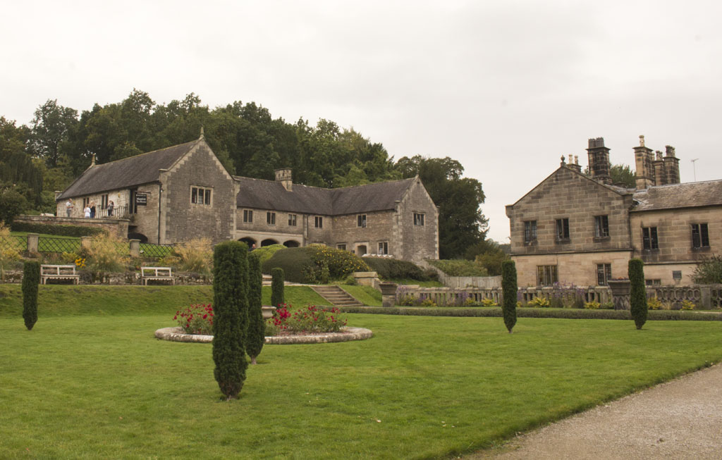
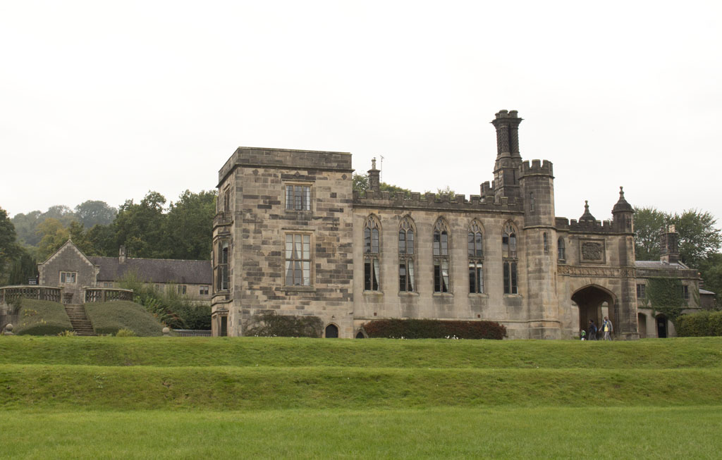
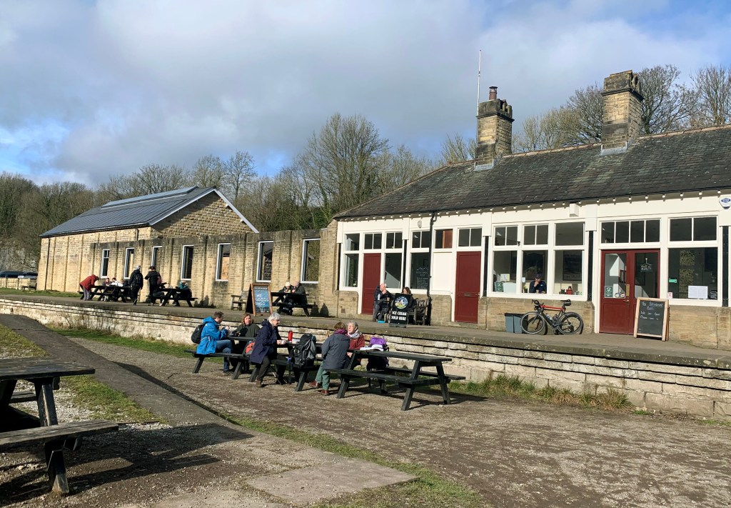
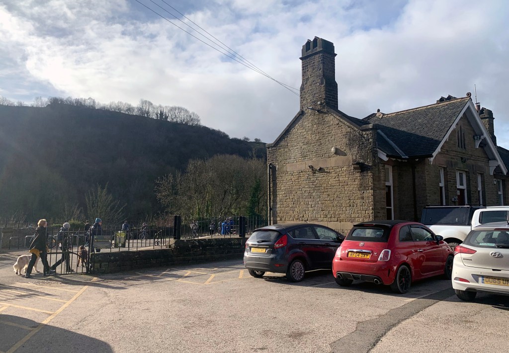
Millers Dale Station
Once the largest station on the Midland Line
Built in 1863 by the Midland Railway, Millers Dale was an important railway junction, where Buxton passengers made connections with express trains running between London and Manchester
The station originally had two main platforms but in 1905, three further platforms were added as well as the construction of a second viaduct across the valley. It was one of the few stations in England to have a Post Office.
Millers Dale was a hive of activity with farmers bringing in milk every morning to catch the ‘Milk Train’ whilst visitors came to seek the country air.
Millers Dale began to grow as a community with new houses built for the railway workers, lime-burners and quarrymen. Two hostelries were built to cater for both the workforce and the visitors brought by the railway.
The railway also brought industry with it for it provided much easier access to the rich limestone deposits. It also meant that large quantities of stone could be transported and this is when intensive quarrying began. Quarries expanded and in 1876 a lime works opened up above the station, with a series of lime-kilns built alongside the track.
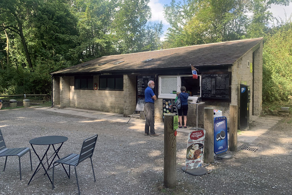
After the closure of the Railway in 1968 the station gradually fell into disrepair, and some of the station building are now long gone.
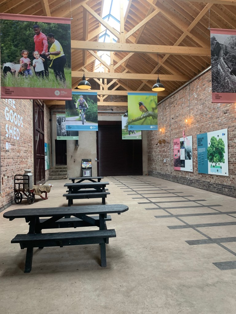
The main buildings remain however, now acting as a café and visitor information point, public toilets and exhibition. The station waiting area and booking office was re-opened as a cafe now known as the Refreshment Rooms in 2019, following an extensive £230,000 restoration led by the National Park Authority. In 2022 the former goods shed re-opened after a £330,000 EU-funded restoration and now includes a self-guided interpretive and information exhibition open at all times when the café is in operation.
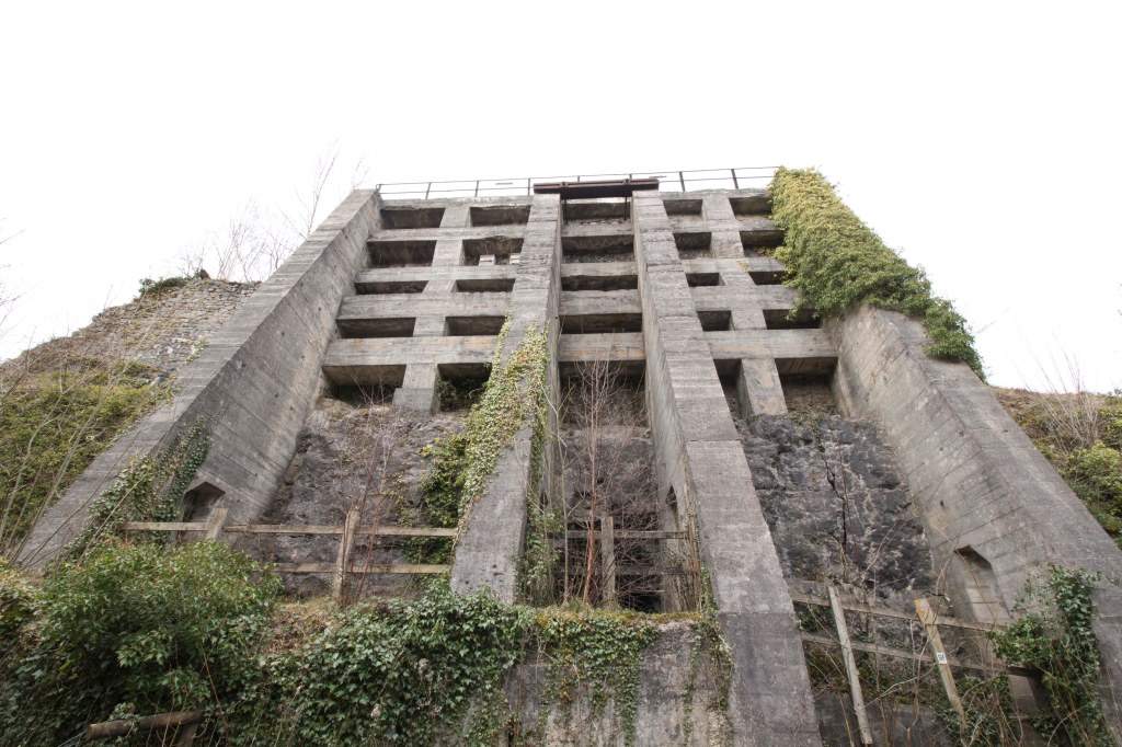
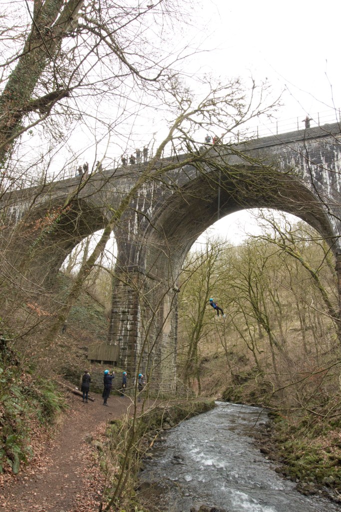
Lime Kilns and abseiling bridge
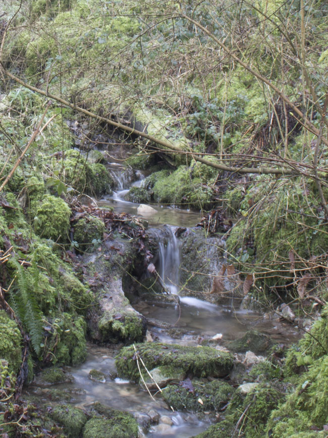
A short walk down the trail from Millers Dale Station are the spectacular and monolithic Lime Kilns. They produced up to 50 tonnes of quicklime per day at the height of production. They opened in 1880 and produced lime for use in agriculture and building up until 1944. The huge concrete buttresses were added in the 1920s to help stabilise the structure.
Today the kilns are wildlife havens with swifts and bats nesting in the structure.
Just a short walk on from the lime kilns there is a bridge where there is organised abseiling, there are details at Millers Dale station on how to book.
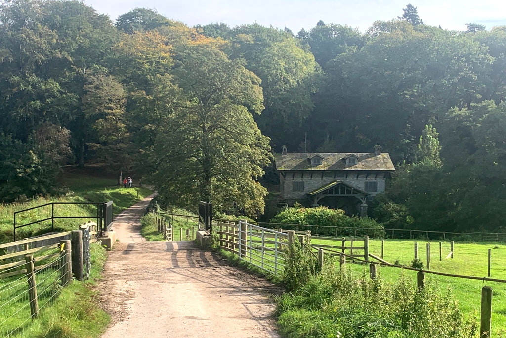
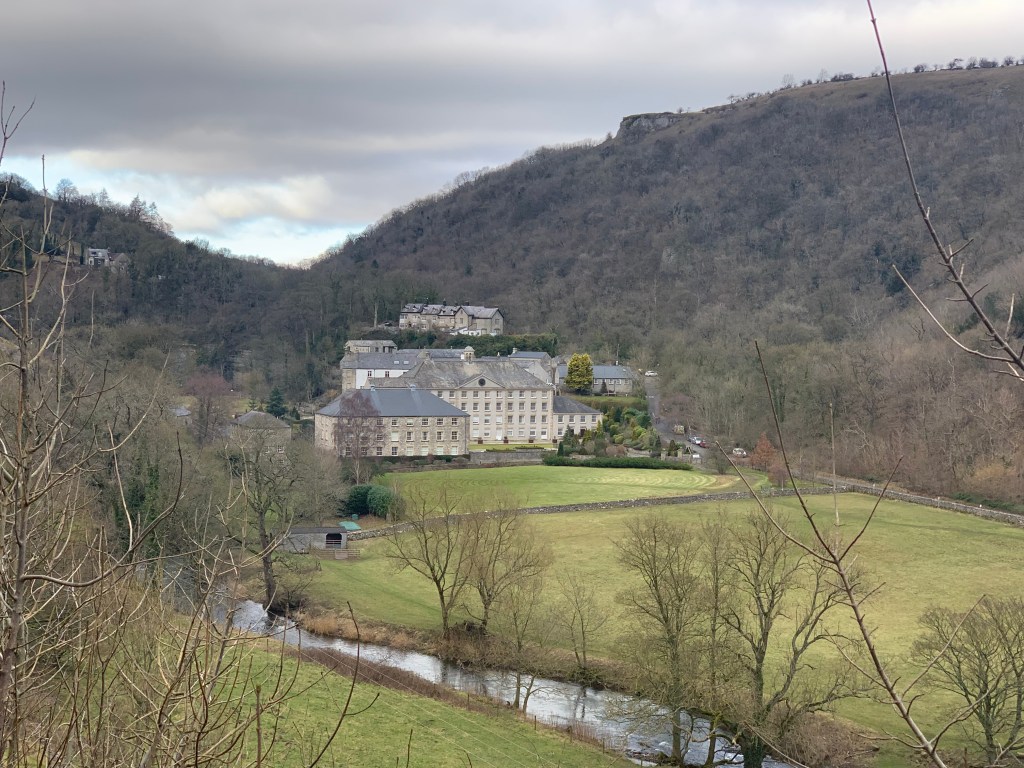
Cressbrook Mill
John Baker, a hosier and entrepreneur developed the site of Cressbrook Mill in the 18th century. He constructed a distillery for peppermint, lavender and other aromatic herbs which he grew or found locally. He erected the first Cressbrook Mill building about 1785 but this was destroyed by fire. A new mill was then built and taken over by Sir Richard Arkwright. Arkwright died in 1792 and Cressbrook Mill changed hands yet again. In 1815 the impressive 12-bay Georgian building was erected by William Newton.
In 1835 Cressbrook Mill was bought by Henry McConnel,
The later Cressbrook Mill had two waterwheels using water from the Wye which was especially damned. In 1890 water turbines were installed. Cotton doubling was still in operation until 1965 but after that Cressbrook Mill was used for a time by a firm manufacturing nylon yarns. The mill closed in 1971 and stood empty for several years before being redeveloped and is now in private ownership.
Litton Mill
Litton Mill was founded 1782 by Ellis Needham and Thomas Frith, both farmers with small estates in the area. The mill was powered by the water of the River Wye, using Richard Arkwright’s water frame. It could be said that the company was doomed from the start. Needham, in particular, had sunk most of his assets into the venture. The valley was particularly isolated and transport for the raw material and finished goods was poor. Moreover, they had difficulty in attracting a workforce.
In order to get the labour need to run the mill Needham and Frith took on pauper children as apprentices, who suffered appalling conditions and work practices.
By 1786 the, barely profitable mill was put up for sale. There were no buyers and Needham and Frith struggled on. Needham’s money had gone and he was farming on rented land, while Frith left the partnership in 1799.
After a general depression in the industry, a serious fire, and the waterwheel breaking and out of action for a month Needham was bankrupt and had been given notice to quit. By 1828 he was a pauper.
The mill was operated for a time by the Newtons of Cressbrook Mill but was destroyed by another fire in 1874. Very little remains of the original mill.
In 1893 Mr Matthew Dickie, took over Litton Mill. He set up a Litton & Cressbrook Mills Company and Cressbrook Mill was also taken over. Litton Mill was sold to a syndicate in 1934. It is now in private hands.
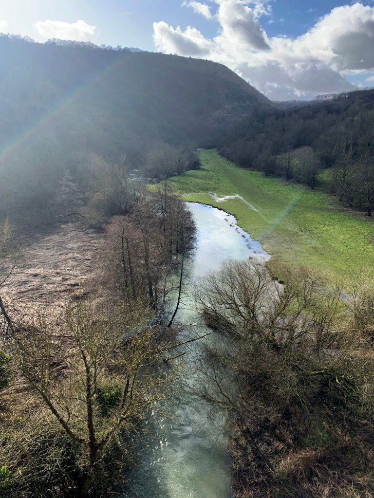
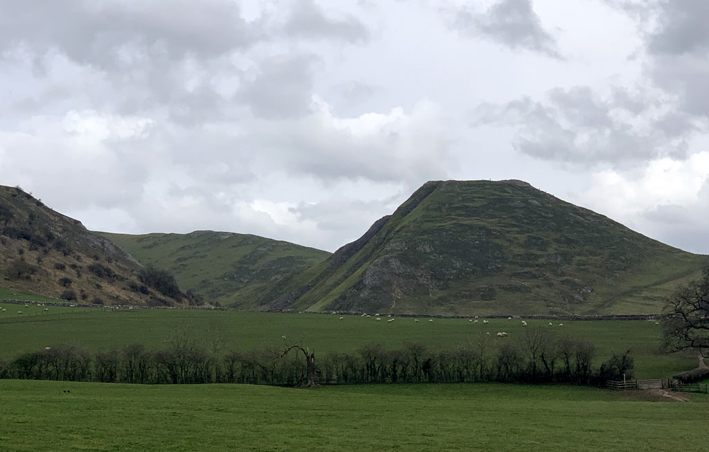
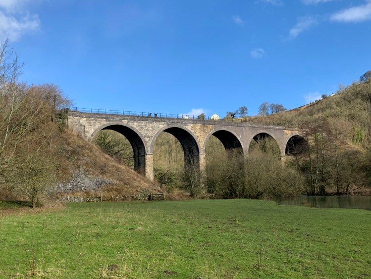
Monsal Head Viaduct
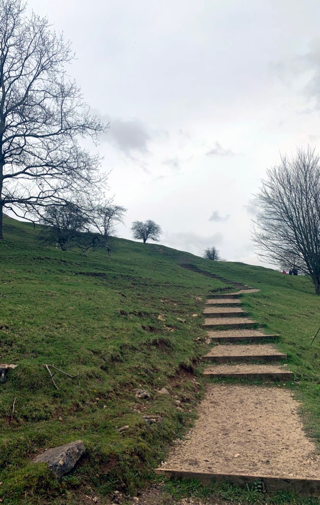
One of the most photographed structures in the Peak District the iconic viaduct is part of the Monsal Trail. You can walk a fairly steep path up to Monsal Head to enjoy the view of the valley and the River Wye. There are refreshments available here and also car parks, toilets, guest houses, hotel, pub, cafes and gift shop
Built by the Midland Railway in the 1860s, the viaduct’s name seems to change with the seasons – some call it ‘Headstone’, others know it as ‘Monsal Head’, ‘Monsal Dale’ or just plain ‘Monsal’.
Leading culture critic John Ruskin thought it was a hideous blot on the landscape, commenting that “There was a rocky valley between Buxton and Bakewell, once upon a time, divine as the Vale of Tempe… You Enterprised a Railroad through the valley – you blasted its rocks away, heaped thousands of tons of shale into its lovely stream. The valley is gone, and the Gods with it; and now, every fool in Buxton can be in Bakewell in half an hour, and every fool in Bakewell at Buxton; which you think a lucrative process of exchange – you Fools everywhere.”
Following slippage of the structure, significant remedial work took place in 1907. It’s five arches have a 50-foot span, contributing to an overall length of 300 feet. The track sat 74 feet above the River Wye.
It 1970, a Grade II listing was placed on it and, since 1980, The Monsal Trail footpath has been accommodated on its deck.
Hassop Station
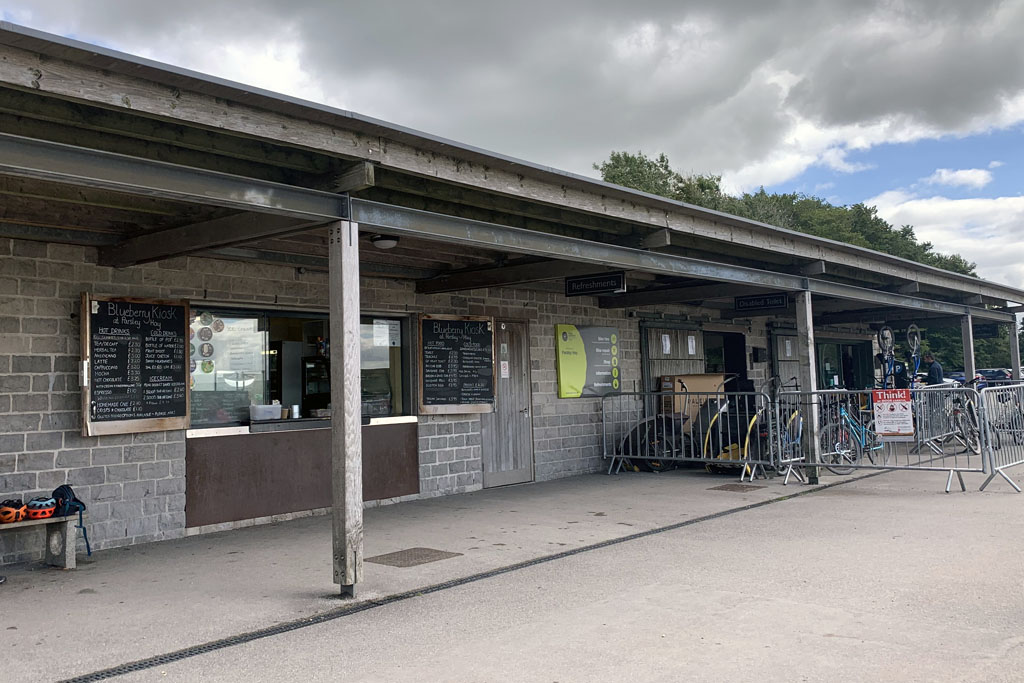
Hassop Stations was one of the larger stations of the route from Buxton to Bakewell, it didn’t however have large passenger numbers, being quite a distance from the village of Hassop. It opened in 1862 and closed to passengers in 1942. The station completely closed in 1964. It was sold into private ownership and opened as a bookshop and café. Ownership changed in 2010 and the new owners have established a café, a small bookshop and cycle hire shop.


If you like this post, or have any suggestions, please get in touch, it would be good to hear from you. Also if you would like somewhere to stay in the area, we have a lovely cottage that is available for holidays and short breaks throughout the year. Aldergrove Cottage
We also have a facebook page, search for “letslive holidays”, or click the link below. Please like, share and follow us, it is really appreciated.